India is fast moving into being an information and knowledge society - especially with the
emphasis on Information Technology and transparent e-governance. The next decade will
see further large-scale investment in communications technology as India moves to exploit
the full potential of the information age. Recent initiatives by the Government, including the
IT Act, as well as announced plans for private and public investment, make it clear that within
a few years an unprecedented capability will exist for sharing of data along electronic
superhighways. Amongst the variety of datasets that would be involved, spatial (or map)
information will be a major content. These Spatial information sets are vital to make sound
decisions at the local, regional, state and central level planning, implementation of action
plans, infrastructure development, disaster management support, and business development.
Natural Resources management, flood mitigation, environmental restoration, land use
assessments and disaster recovery are just a few examples of areas in which decisionmakers
are benefiting from spatial information.
Until recently, maps (usually in paper form) have been a mainstay for a wide variety of
applications and decision-making. This is changing as more spatially referenced data and
information on a wider variety of topics or themes (e.g., population, land use, economic
transactions, hydrology, agriculture, climate, soils) are being produced, stored, transferred,
manipulated, and analyzed in digital form.
A new wave of technological innovation is allowing us to capture, store, process and display
an unprecedented amount of geographical and spatial information about society and a wide
variety of environmental and cultural phenomena. Much of this information is spatial - i.e.
it refers to a coordinate system and is representable in map form. Current and accurate
spatial data must be readily available to contribute to local, state and national development
and contribute to decision making,economic growth, environmental quality and stability, and social progress.
India has, over the past years, produced a rich base of map information through systematic
topographic surveys, geological surveys, soil surveys, cadastral surveys, various natural
resources inventory programmes and the use of the remote sensing images. Further, with
the availability of precision, high-resolution satellite images, data enabling by the organisation
of Geographical Information System (GIS), combined with the Global Positioning System
(GPS), the accuracy and information content of these spatial datasets or maps is extremely
high.
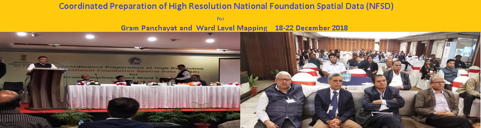
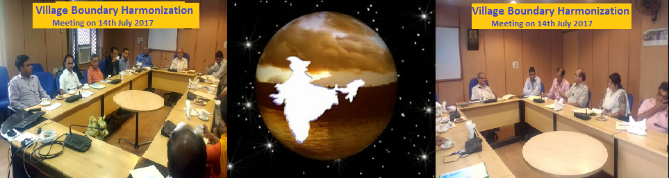
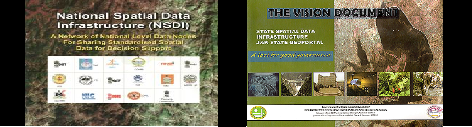
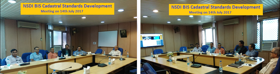
Encapsulating these maps and images into a National Spatial Data Infrastructure (NSDI) has
been recognised and the emphasis is on information transparency and sharing, with the
recognition that spatial information is a national resource and citizens, society, private
enterprise and government have a right to access it, appropriately. Only through common
conventions and technical agreements, standards, metadata definitions, network and access
protocols will it be easily possible for the NSDI to come into existence.